Alabamians Prepare for Possible Dangerous Severe Weather Threat
Please channel your efforts this evening into getting prepared for the possibility of a dangerous severe weather event on Thursday (March 25, 2021). Many Alabamians are still dealing with the Tornado outbreak from last week. The same attention that you gave the previous severe weather threat, please apply that towards tomorrow.
We are not alone in this severe weather situation. The Weather Channel reports that these “Supercell thunderstorms could pose a threat of long-track strong tornadoes as well as large hail and damaging winds, especially from northern and central Mississippi into central Alabama and a portion of western and middle Tennessee.”
PREPARE NOW
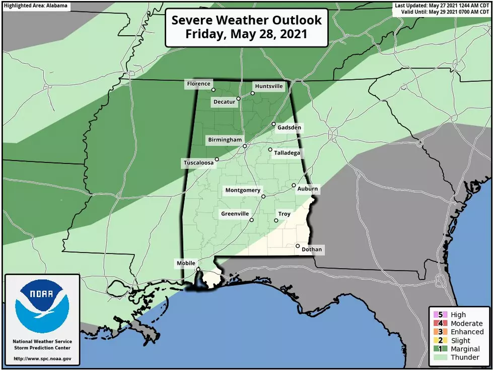
Please know your location on the state map.
It’s a great idea to know the county that you live in. Also, what section, North, South, East, and West.
Make sure you have identified your safe place at home and work before the event. You don’t want to panic when you just have a few minutes to get into that space.
If you are home, be sure to keep your shoes on. We get relaxed at home and kick off our shoes. If you ever in a situation where there is damage, you don’t want to walk barefoot.
Since this severe weather event will transition from afternoon into evening, please ensure that you have not silenced your phone.
Be sure you have multiple ways to receive warnings. Our free app is a great resource.

James Spann, ABC 33/40, and Townsquare Media Tuscaloosa Chief Meteorologist has noted that the “primary window for severe thunderstorms over Northwest Alabama will run from 1 until 8 pm… for places like Birmingham, Tuscaloosa, Anniston, and Gadsden the window is from 1 until 10 pm, and for Montgomery and points south and east the threat will come from 7 pm until midnight.”
In Birmingham, the National Weather Service tells us that “a couple of severe storms may occur Thursday morning with a threat of a couple of tornadoes, damaging winds, and hail up to quarter size. This morning threat is mainly for areas near, and west of Interstate 65, starting around 6 am."
Also, "A significant severe weather event is expected across much of Central Alabama Thursday afternoon and evening. The greatest threat appears to be near and northwest of Interstate 59, where strong tornadoes, damaging winds, and large hail will be possible. A much lesser threat is expected for areas to the south and east.”
(Source) Click here for more information from The Weather Channel. Click here for more data from the National Weather Service Birmingham. Click here for more details from James Spann.
Townsquare Media Tuscaloosa's Operation Storm Watch is brought to you by Safe-T Shelter. Visit their website here to see their selection of residential and commercial safe rooms and storm shelters. To contact a Safe-T Shelter representative, click here to visit their Facebook page.

Check out the latest radar models here:
If a tornado warning is issued in our area, Townsquare Media Tuscaloosa Operation Storm Watch will provide you with live and local team coverage, including wall-to-wall weather with James Spann.
To view the latest weather updates and information, click here.
TIPS: Here's how you can prepare for power outages
KEEP READING: What to do after a tornado strikes
KEEP READING: Get answers to 51 of the most frequently asked weather questions...
More From Alt 101.7


