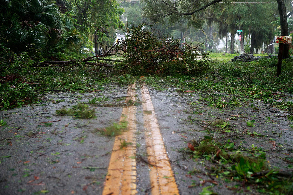
Severe Storms Possible Tonight in Tuscaloosa, Alabama
Storms are likely in West Alabama tonight, some of which could bring damaging winds and hail to the Druid City.
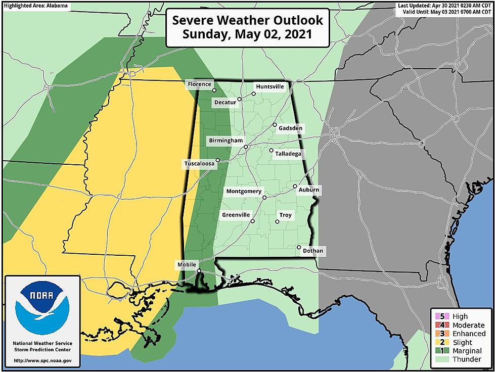
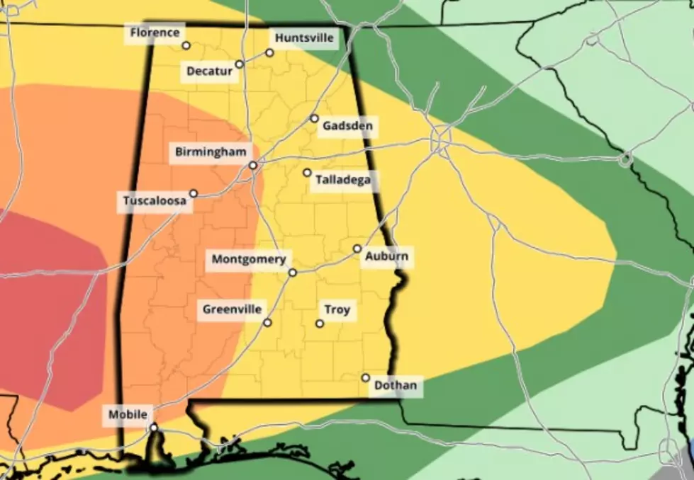
The National Weather Service in Birmingham has placed points north of I 20/59 in a slight risk area for storms tonight. Thunderstorms will be possible from 6 p.m. until midnight tonight.
ABC 33/40 and Townsquare Media Tuscaloosa Chief Meteorologist James Spann outlines the threat in his latest forecast post on alabamawx.com:
It now looks like there will be sufficient instability for a few thunderstorms from roughly 6:00 p.m. to midnight with potential for strong, gusty winds and small hail. The chance of a tornado is low, but not zero. Rain amounts tonight should be 1/2 inch or less for most communities.
For a more in-depth look at the forecast, check out the latest Weather Xtreme video below.
Townsquare Media Tuscaloosa's Operation Storm Watch is brought to you by Safe-T Shelter. Visit their website here to see their selection of residential and commercial safe rooms and storm shelters. To contact a Safe-T Shelter representative, click here to visit their Facebook page.

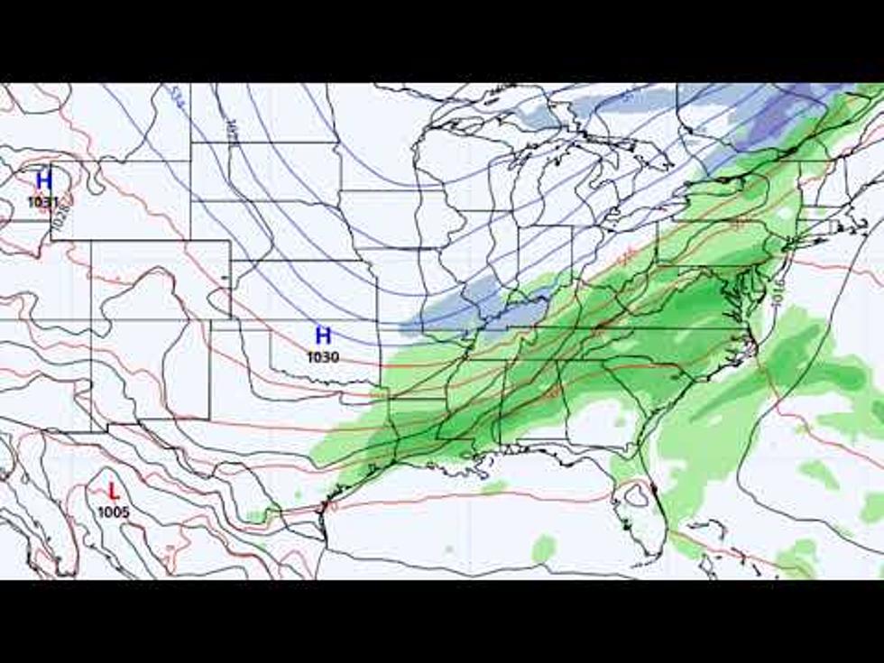
Check out the latest radar models here:
If a tornado warning is issued in our area, Townsquare Media Tuscaloosa Operation Storm Watch will provide you with live and local team coverage, including wall-to-wall weather with James Spann.
To view the latest weather updates and information, click here.
TIPS: Here’s how you can prepare for power outages
KEEP READING: What to do after a tornado strikes
KEEP READING: Get answers to 51 of the most frequently asked weather questions...
More From Alt 101.7