Storm Surge is a Big Concern with Hurricane Marco
Storm Surge is a Concern with Hurricane Marco
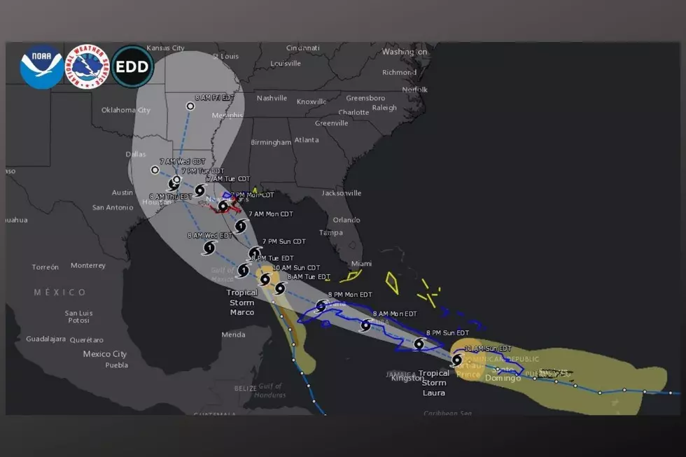
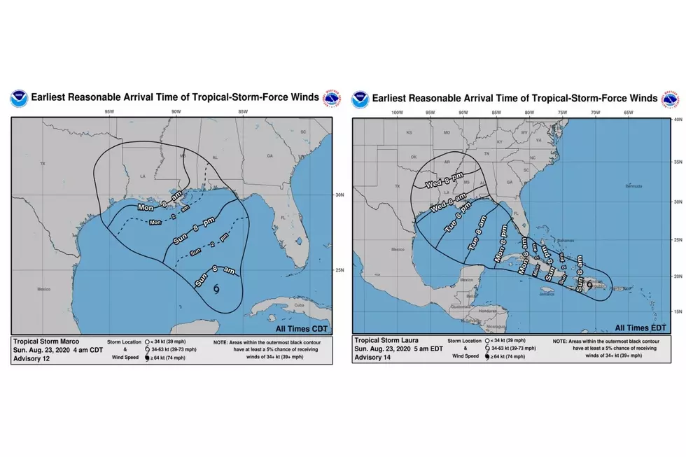
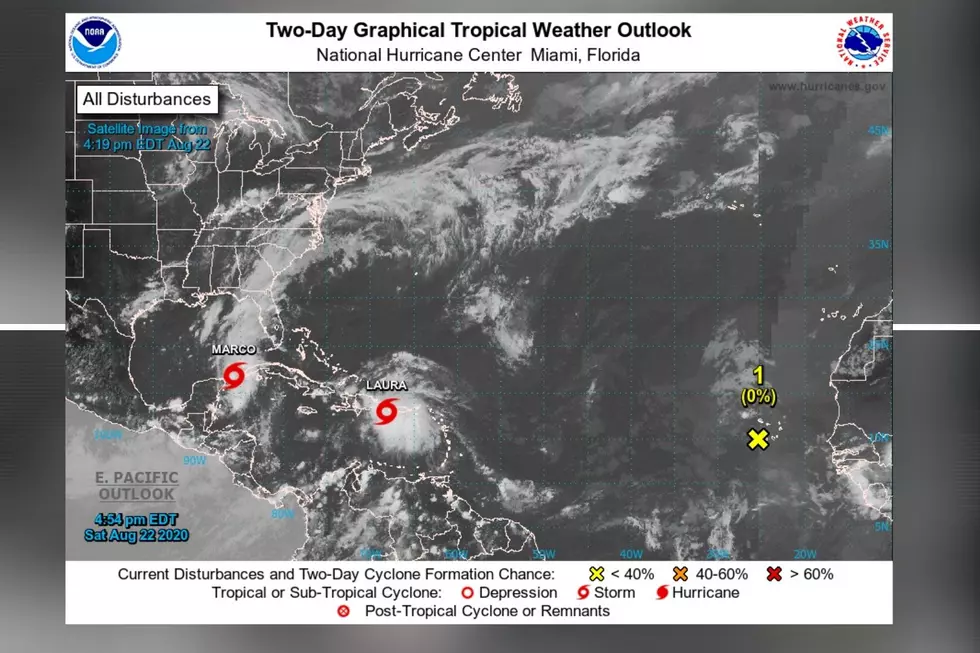
The Louisiana Coast is getting ready for the one-two punch that Hurricane Marco and Tropical Storm Laura will be bringing to their area. Up first is Category 1 Hurricane Marco, for those in the hurricane warning area, they should experience hurricane conditions by Monday during the midday. Those in the hurricane warning area should feel hurricane conditions by late Monday. Also, it is worth mentioning that Marco has the potential to strengthen has it approaches the Louisiana Coast.
There have already been mandatory evacuations that took place today in Louisiana due to Hurricane Marco. According to the National Weather Service, “the combination of a dangerous storm surge and the tide will cause normally dry areas near the coast to be flooded by rising waters moving inland from the shoreline. The water could reach the following heights above ground somewhere in the indicated areas if the peak surge occurs at the time of high tide.”
Morgan City LA to Mouth of the Mississippi River...4-6 ft
Mouth of the Mississippi River to Ocean Springs MS including Lake
Borgne...3-5 ft
Lake Pontchartrain and Lake Maurepas...2-4 ft
Intracoastal City LA to Morgan City LA...2-4 ft
Sabine Pass to Intracoastal City...1-3 ft
Ocean Springs MS to the AL/FL Border including Mobile Bay...1-3 ft
Tropical Storm Laura could strengthen when the system enters the Gulf of Mexico. Laura could be upgraded to a hurricane at some point on Tuesday. The main concern with Laura is that (at this time) could impact the same area where Marco is just affected.
On a positive note, the National Weather Service Birmingham provided insight on their Facebook page, “Thankfully, it looks at this time like the heavier impacts will remain to our west; however, please continue to check back for updates as some adjustments in the track remains possible. At this time, we expect higher rain chances from mid to late week as tropical moisture surges northward and remains across the area. We will be monitoring for potential additional impacts depending on how strong the systems become, and as confidence in their forecast track continues to increase.”
(Source) For more from the National Weather Service Birmingham Facebook page, click here. For more from the National Weather Service, click here.
Clouds: Artwork In The Sky
More From Alt 101.7


