Hazardous Weather Outlook Now Until This Evening
There is a Hazardous Weather Outlook that has been issued by the National Weather Service Birmingham for now until this evening.
For the following counties: Marion-Lamar-Fayette-Winston-Walker-Blount-Etowah-Calhoun-Cherokee-Cleburne-Pickens-Tuscaloosa-Jefferson-Shelby-St. Clair-Talladega-Clay-Randolph-Sumter-Greene-Hale-Perry-Bibb-Chilton-Coosa-Tallapoosa-Chambers-Marengo-Dallas-Autauga-Lowndes-Elmore-Montgomery-Macon-Bullock-Lee-Russell-Pike-Barbour
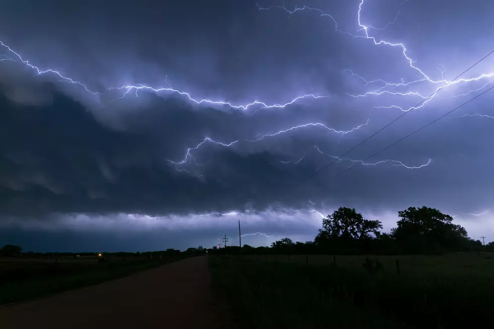
You can expect the following: Isolated Strong To Severe Thunderstorms May Occur Through This Evening With Damaging Winds Greater Than 60 Mph And Quarter Size Hail.
UPDATE:
There is a Significant Weather Advisory until 7:45 pm for Central Perry and Northeastern Dallas. And until 8 pm for Southeastern Greene, Hale, Marengo, & Southern Sumter Counties.
Previous Alerts:
Be sure to stay alert, wind gusts could be around 30-40 mph for Tuscaloosa, Pickens, Greene, Hale, & Sumter Counties. Also the heavy rainfall could lead to localized flooding.
There is a Flash Flood Warning until 7:30 pm for Fayette, Walker, Marion, & Winston Counties.
There is a Significant Weather Advisory until 7:15 pm for Northeastern Perry with possible hail threat.
There is a Significant Weather Advisory until 7 pm for Greene, Hale, and Sumter Counties.
There is a Significant Weather Advisory until 5:45 pm for Walker, Northwestern Tuscaloosa, Northern Pickens, Fayette, and Lamar Counties.
(Source) For more information from the National Weather Service, click here.

More From Alt 101.7