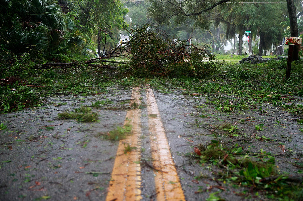
Freezing Rain, Icing Issues to Impact West Alabama Next Week
Tuscaloosa could see an icy start to next week as freezing rain will be possible across portions of West Alabama.

The National Weather Service in Birmingham's latest forecast shows Tuscaloosa may receive freezing rain as early as Sunday, February 14th with additional rounds of freezing rain resulting in a glaze of ice Monday, February 15th.
Townsquare Media Tuscaloosa and ABC 33/40 Chief Meteorologist James Spann outlined the winter weather threat in his latest post on the Alabama Weather Blog:
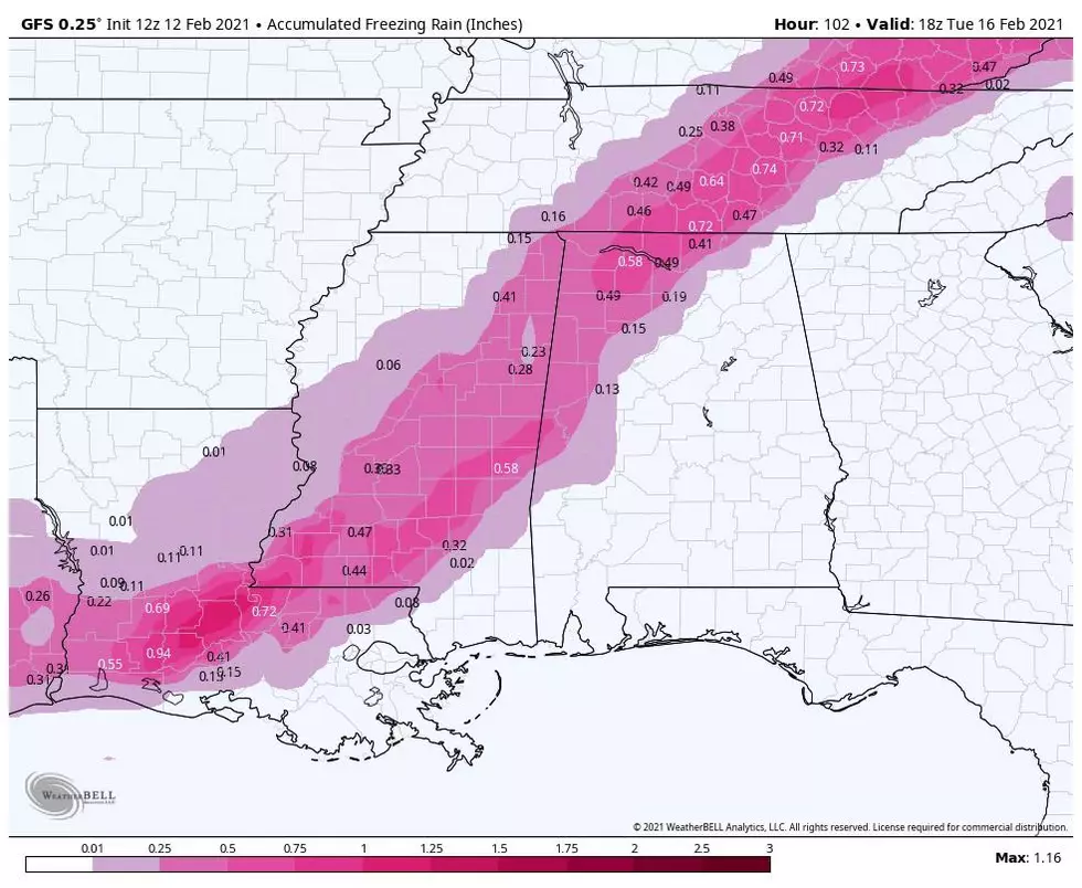
Precipitation will move into Alabama Sunday night, and this could be in the form of freezing rain for parts of North and West Alabama possibly creating some travel impact, mainly north of I-59 (north of Tuscaloosa, Birmingham, and Gadsden). While there could be a brief break Monday, a more significant round of precipitation comes later Monday into Monday night.
Thermal values suggest freezing rain will be possible again north of I-59. Some ice accumulation is very possible, and travel could be impacted, but it remains a little too early for a specific forecast involving the placement and timing of the primary freezing rain threat. It is possible that winter weather advisories, or maybe a winter storm watch will be needed for some part of North or West Alabama for this event… be sure and keep up with forecast updates over the weekend.
Townsquare Media Tuscaloosa will provide you with updates throughout the weekend. Be sure to download our station app and subscribe to alerts to have the latest forecast and road condition information sent straight to your phone.
TIPS: Here's how you can prepare for power outages
More From Alt 101.7